Five steps, one processing pipeline, one point of contact. You give us access to the site. We deliver the files to your teams.
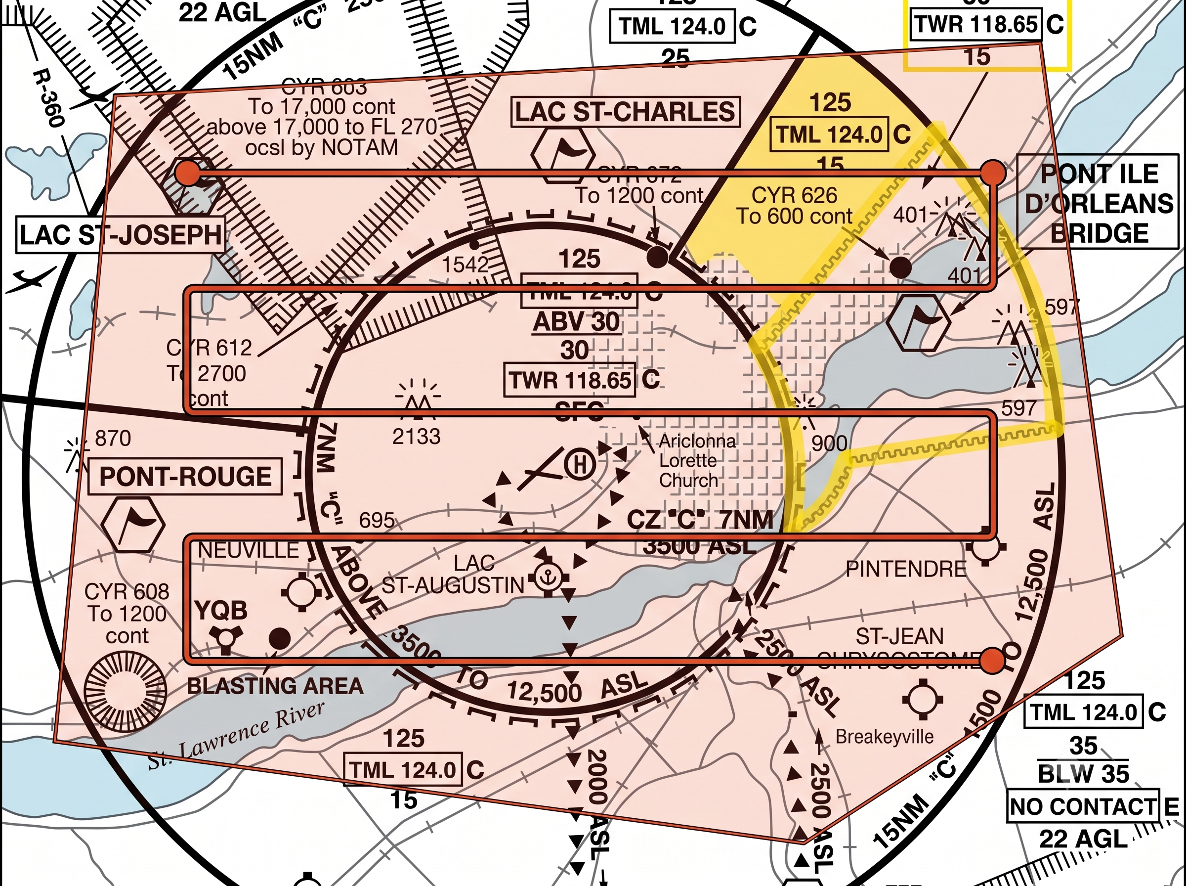
The Québec City region sits almost entirely within CYQB controlled airspace. We handle the NAV Drone request, notice to the site's prime contractor, and coordination with the site's CNESST prevention program.
The drone flies alongside heavy machinery. No site shutdown, no surveying crew to mobilize. Ground control points establish the accuracy you can prove to your clients.
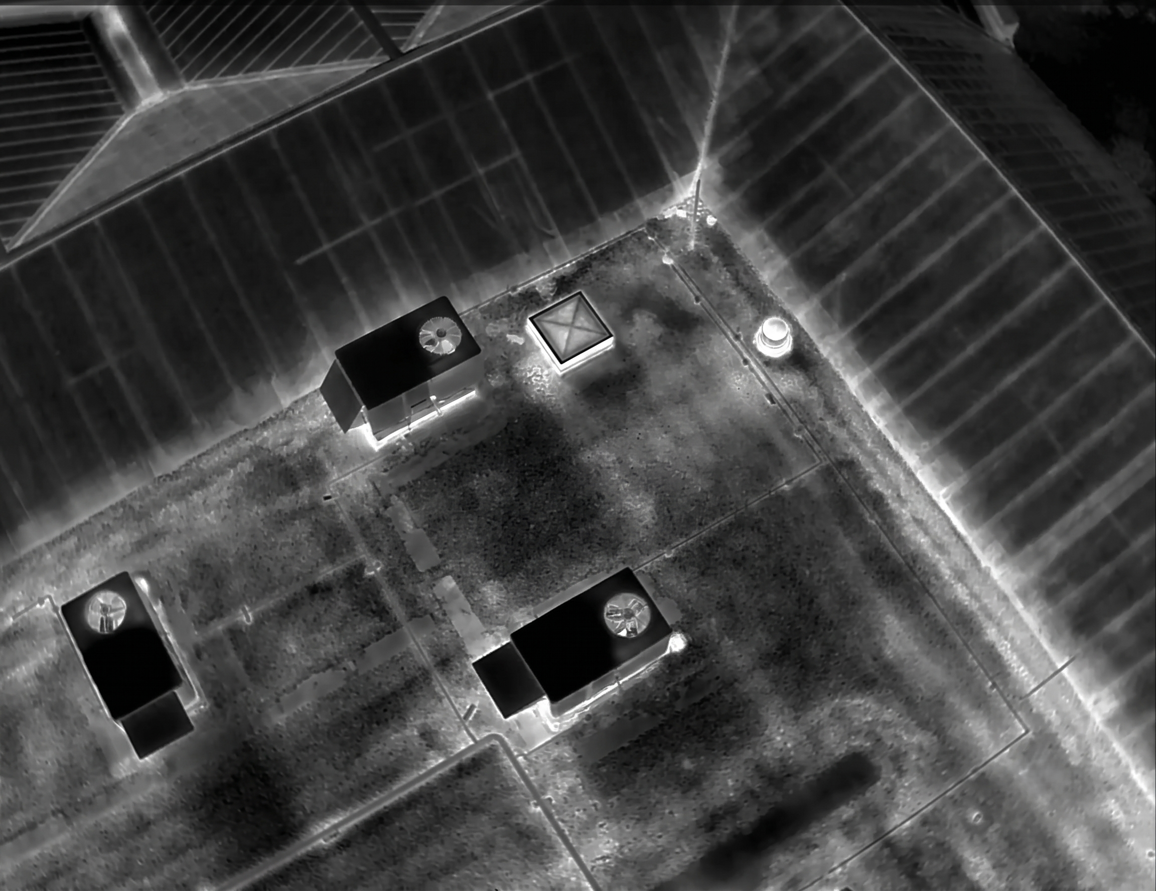
Our processing pipeline generates orthophotos, digital models, and point clouds within 48 hours of the flight. Miss the deadline, and an automatic 50% penalty applies to the invoice. It's in the contract.
Your project managers open the portal, compare progress week over week, and measure a distance or volume directly on screen. No heavy file transfers, no software to install on the client side.
The government's 2021–2026 BIM roadmap mandates structured digital data. We export in the formats your engineers and architects open without an intermediate conversion, ready for the SQI's common data environment.
